|
We regret that ART is no longer offering poster printing services.
|
|
What is ART?
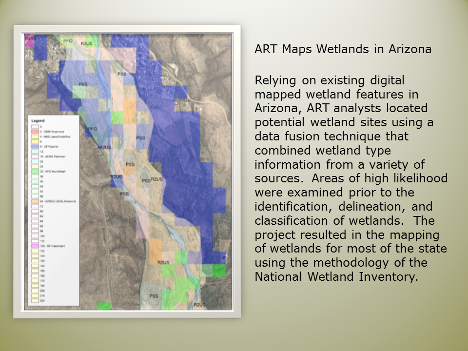
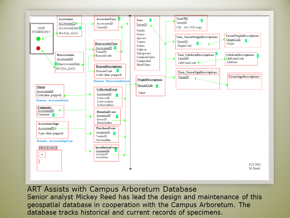
ART is an approved service center at The University of Arizona providing GIS related services. Specifically, we can provide assistance in GIS project development, data acquisition, and spatial analysis.
Working with ART
If you have a project that requires professional GIS services, contact us to set up a services consultation. During the consultation ART staff will learn about your project and assist you identifying specific requirements for processing geographic data or developing applications. Learn more about ART services. |
 |
 |
ART is co-located with the Arizona Remote Sensing Center (ARSC)
Both ART and ARSC are located on the fourth floor ofthe Environment and Natural Resources 2 (ENR2). ARSC has worked on a range of international, national, and regional projects using remote sensing data and geospatial technologies to address issues in natural resource management. ARSCís mission is to employ remote sensing and geospatial technologies to solve natural, agricultural, and cultural resource problems in the arid and semi-arid regions of the world. The co-location of ART and ARSC enables cross support and project development for the two groups.
|
Last updated 07/23/2021 | Email ART | CALS Privacy Statement

|

