The Knowledge Base
|
The Advanced Resource Technology Group: The Knowledge Base |
ART LINKS:
- Home - Data Repository - Knowledge Base - Resources - Research - Publications - Education - Software - People - Links - Policies - Contact Us 6/19/02 |
Reprojecting Geospatial Data: InformationProcedures | Knowledge Base | Back IntroductionThe task of understanding map projections, datums, and coordinate systems can be daunting. There are several sources of information available, some of them being:
There are also several software packages that attempt to make the reprojection process as simple as possible if you know the start and end projections. ESRI's software packages offer a variety of help topics for performing the task in ArcInfo, ArcView, or ArcGIS. This is a list of software (mostly public domain) that will reproject digital geospatial data. The following are some basic definitions:
Using ArcInfoThere are several different ways to project, reproject, or define the projections of data in ArcInfo. Some of the commands are:
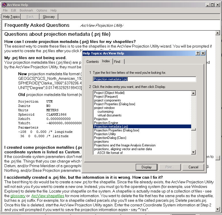
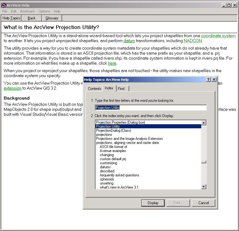
You should use the HELP command to read about the different uses of these commands as each one has several subcommands. Projection information about a dataset is stored in the PRJ file (prj.adf). The help documents also provide information about the supported projections, datums, and coordinate systems (search the index for "projection"). Some of the above commands are described in more detail in the Procedures section. Using ArcViewArcView 3.x offers the Projection Utility extension. This utility will reproject shape files, but it will not alter the original shape file - it creates a new shapefile. The projection utility will create a projection file (.prj) or read the information from a projection file you have created. For the correct format of the .prj file, see the procedures section or the FAQ on "Projection metadata" in the ArcView help documents (Fig. 1). You can also search the help documents for "Projection Utility" (Fig. 2).
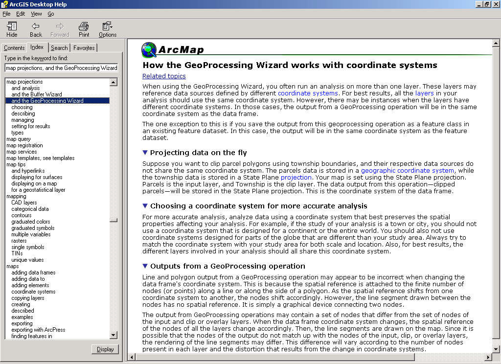
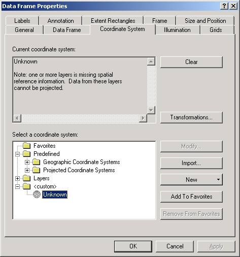
Using ArcGISArcGIS includes the GeoProcessing Wizard, which will reproject data on the fly during analyses between two layers with different projections or coordinate systems (Fig. 3). ArcMap also allows you to change the projection and coordinate system of the data frame through the data frame properties (Fig. 4).
|