
|
ART Project Portfolio
| Project |
Client |
Description |
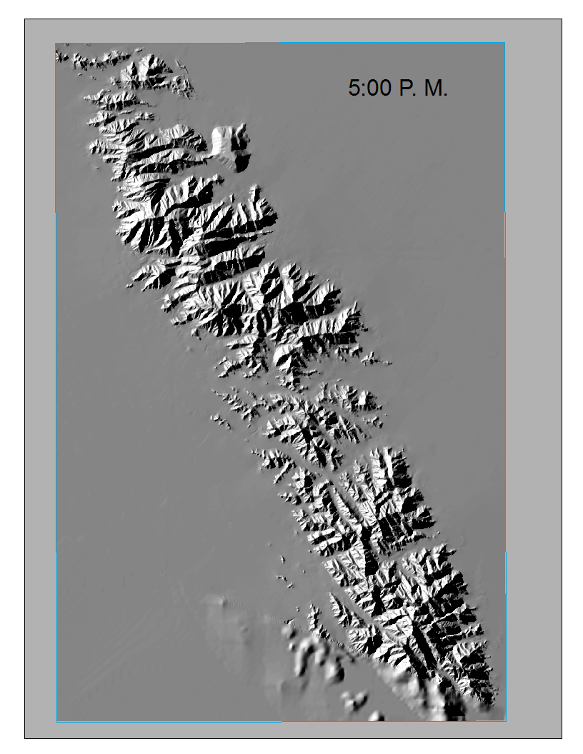
Finding Shaded Canyons
|
Dr. James Malusa
The University of Arizona |
In support of a vegetation mapping project in the Tinajas Mountains, a geoprocessing method was developed to identify areas in the mountains that provided shade at both 5:00 am and 7:15 pm at the height of summer. |
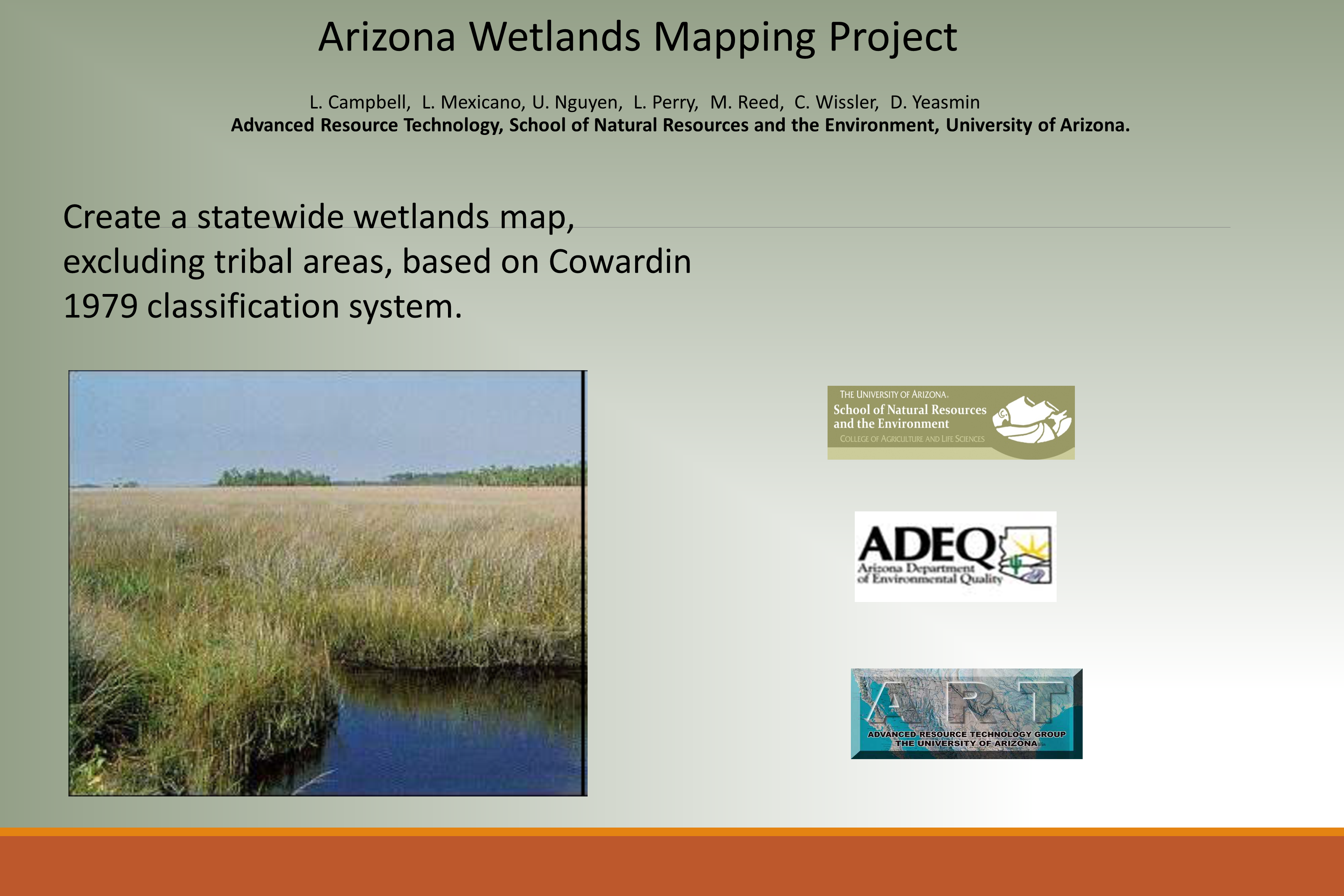
Mapping Arizona Wetlands
|
Arizona Department of Environmental Quality
Water Quality Division |
A statewide wetlands mapping project that involved the identification, delineation, and classification of wetlands in the state of Arizona. The final map product was incorporated in the U.S. Fish and Wildlife Service National Wetlands Inventory. |
Last updated 07/6/15 | 520-621-9588 | Email ART | CALS Privacy Statement

|